Services
Survey services for every stage of your project.
From feasibility through to as-built, Reid Infra provides reliable geospatial and geotechnical data tailored to engineering needs.
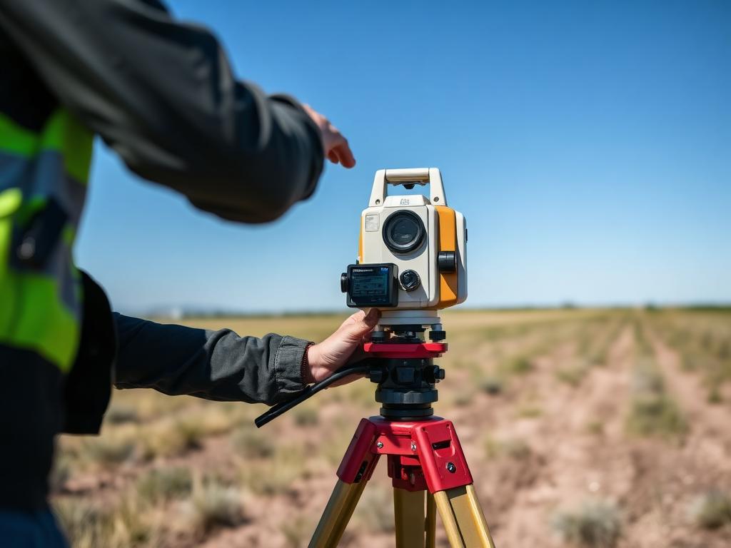
Topographic & Engineering Survey
Detailed land surveys for design, construction and as-built verification.
- Boundary & cadastral surveys
- Corridor & highway surveys
- Setting out & as-built
- Volume & earthwork calculations
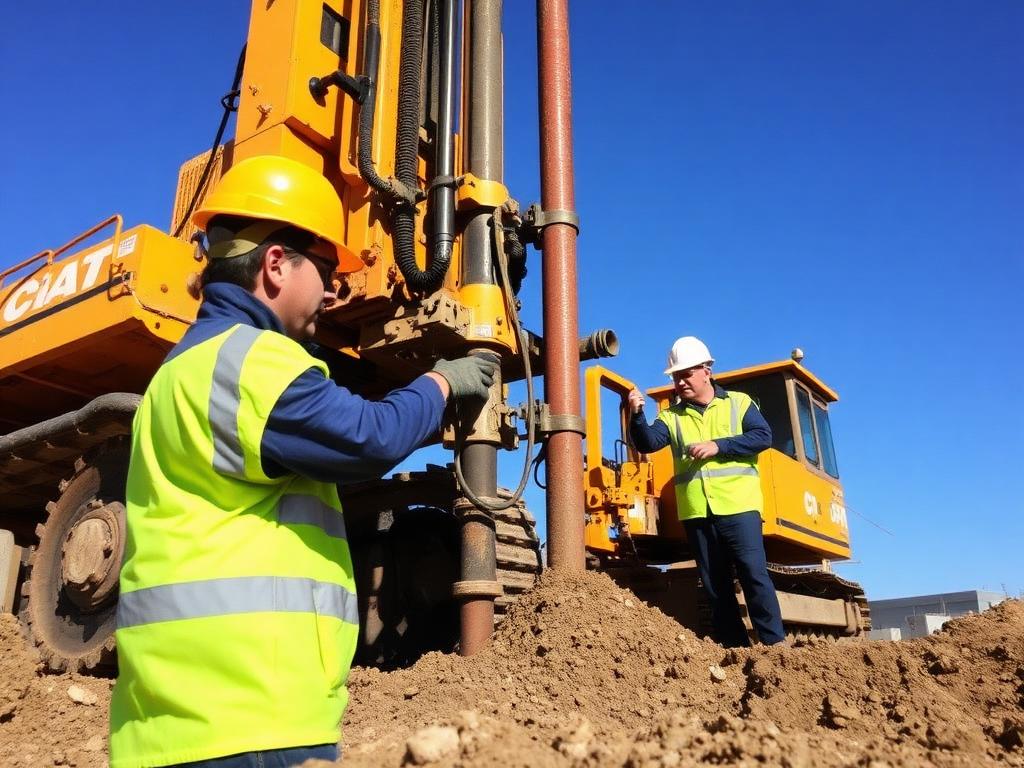
Geotechnical Investigation
Subsurface investigation to inform safe and economical foundation design.
- Soil boring & sampling
- Standard Penetration Tests (SPT)
- Rock coring
- Laboratory testing & reports
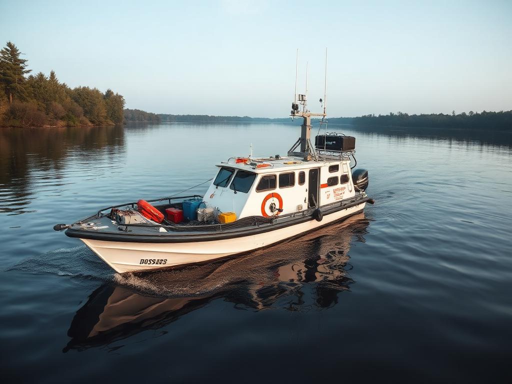
Hydrographic & Bathymetric Survey
Underwater mapping for ports, rivers, dredging and coastal infrastructure.
- Single & multi-beam bathymetry
- Riverbed profiling
- Tidal & current observations
- Dredging volume surveys

UAV / Drone Mapping & LIDAR
Aerial photogrammetry and LIDAR for high-resolution terrain models.
- Orthophoto generation
- Digital Elevation Models (DEM)
- 3D point clouds
- Volumetric stockpile surveys
Underground Utility Mapping
Locate and map buried services before you break ground.
- Ground Penetrating Radar (GPR)
- Electromagnetic detection
- Utility 2D / 3D plans
- Risk reduction reports
GIS & Data Management
Turning raw survey data into actionable spatial intelligence.
- GIS database creation
- Map digitization
- Spatial analysis
- Custom data deliverables
Construction Staking & Site Layout
Translating design plans into precise field markers so structures land exactly where engineers intended — preventing costly rework and structural errors on infrastructure projects.
- Building corners & foundation layout
- Road, kerb & utility line staking
- Slope, batter & cut-fill stakes
- As-built verification against design