Infrastructure
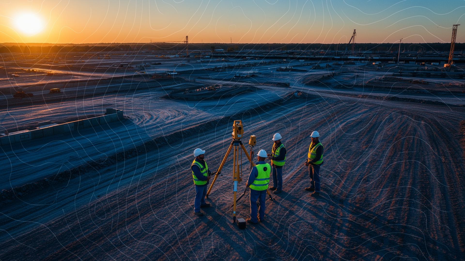
Yangon–Mandalay Highway Corridor Survey
Topographic & utility mapping over 120 km corridor.
Central Myanmar
A snapshot of projects we've delivered across roads, power, marine and mining.
Filter by sector to explore representative engagements.
Topographic & utility mapping over 120 km corridor.
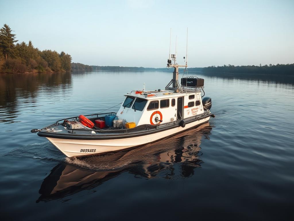
Multi-beam bathymetric survey for capacity study.
Hydrographic and tidal survey for navigation design.

Monthly stockpile volume surveys via LIDAR drone.
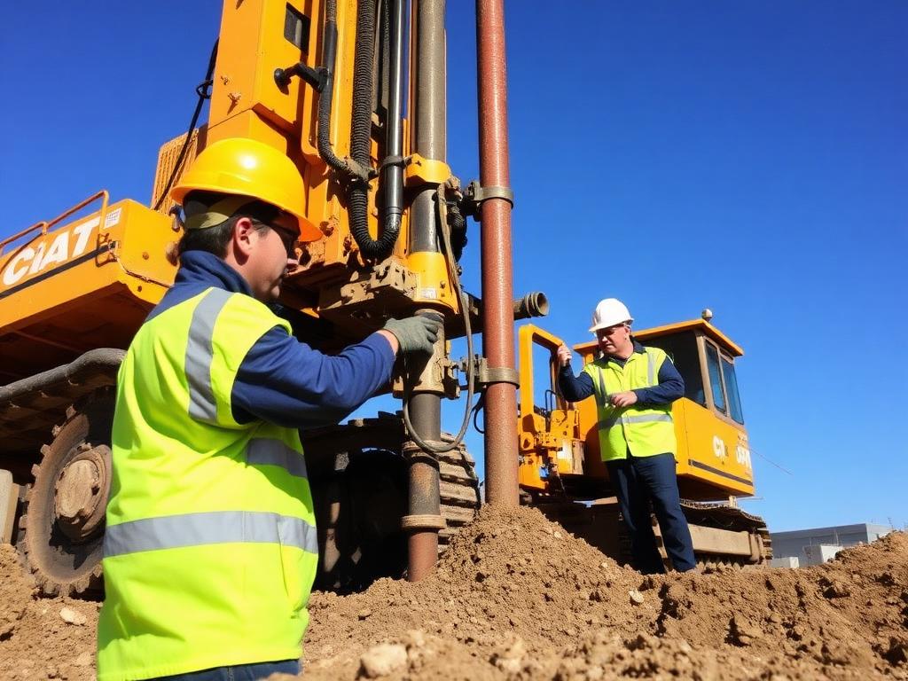
Soil boring, SPT and geotechnical reporting.
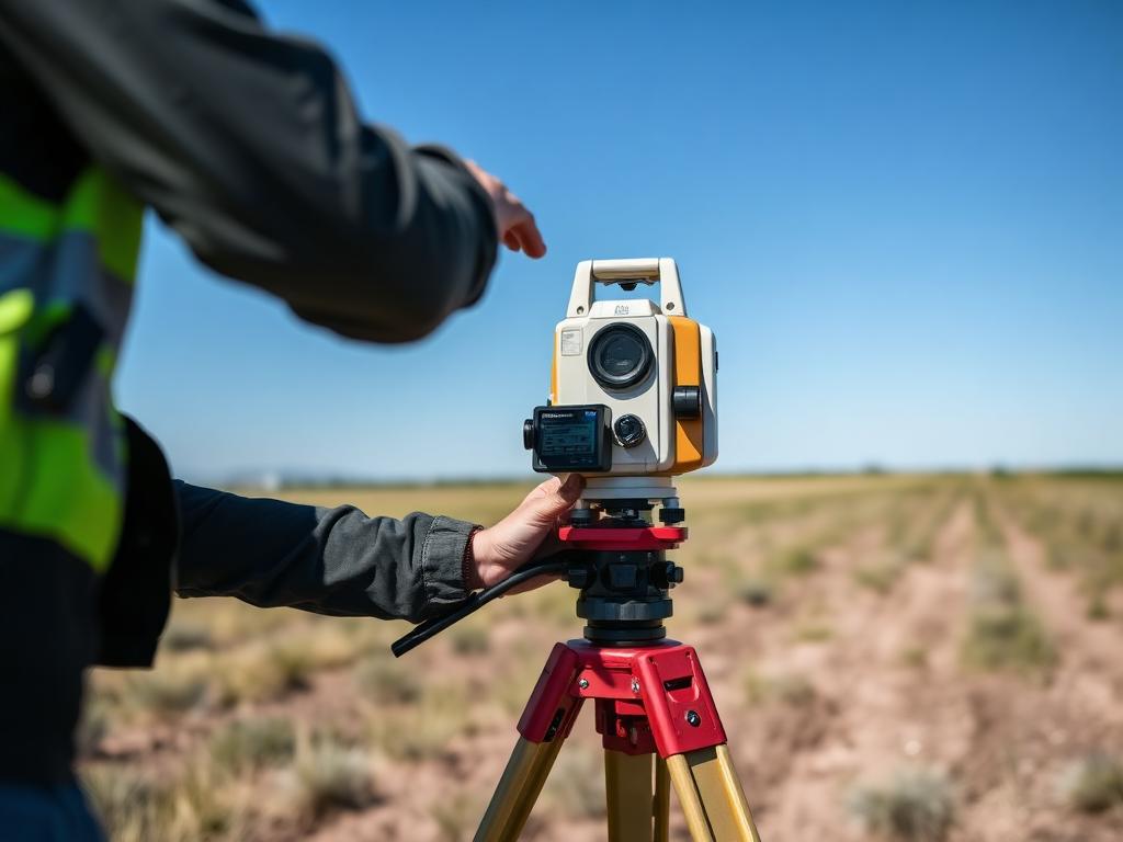
Tower spotting and right-of-way survey.
Combined hydrographic and topographic survey.
Pre- and post-dredge volume verification.