A team of surveyors, engineers and data specialists.
Reid Infra Company Limited was founded to bring world-class geospatial standards to infrastructure projects across the region. We measure, map and model the physical world so that our clients can build with confidence.
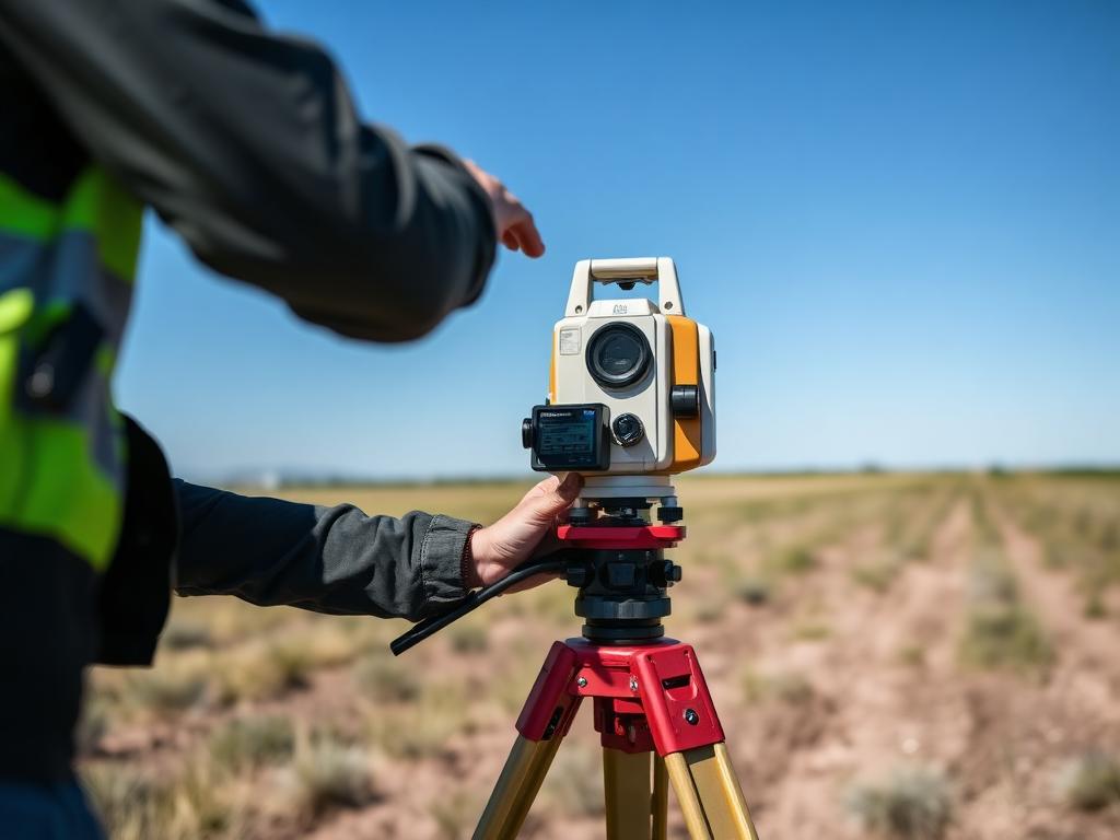
Built on the discipline of precise measurement.
What started as a small team of licensed surveyors has grown into a full-service geospatial firm covering land, marine, aerial and subsurface investigation.
We work hand-in-hand with civil, transport, energy and mining clients — providing the ground-truth data that engineering teams depend on.
Today, Reid Infra continues to invest in the people, equipment and processes that keep our data accurate and our delivery dependable.
The principles behind every measurement.
Accuracy
Sub-centimetre precision is our baseline, not an upgrade.
Integrity
Honest data and transparent reporting on every project.
Reliability
Delivered on time, every time — even in tough terrain.
Innovation
Continuous investment in equipment and field methods.
Our Mission
To deliver geospatial data so reliable that it becomes the foundation of every infrastructure decision we touch.
Our Vision
To be the most trusted survey and engineering data partner in the region.
Our Promise
Calibrated equipment, certified surveyors, and quality-controlled deliverables — every time.